The Netherlands is a geographically low-lying country, with about 20% of its area and 21% of its population located below sea level, and 50% of its land lying less than one metre above sea level. This distinct feature contributes to the country’s name: in Dutch (Nederland), English, and many other European languages, its name literally means “Low Land” or “Low Countries”.(wikipedia)
Most of the areas below sea level are man-made, caused by centuries of extensive and poorly controlled peat extraction that lowered the surface by several metres. Beginning in the late 16th century, land reclamation started and large polder areas are now preserved through elaborate drainage systems that include dikes, canals and pumping stations.
AMSTERDAM
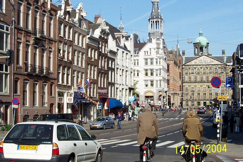
Amsterdam is the capital city of and the most populous within the Kingdom of the Netherlands. Its status as the Dutch capital is mandated by the Constitution of the Netherlands though it is not the seat of the Dutch government, which is at The Hague (Den Haag).
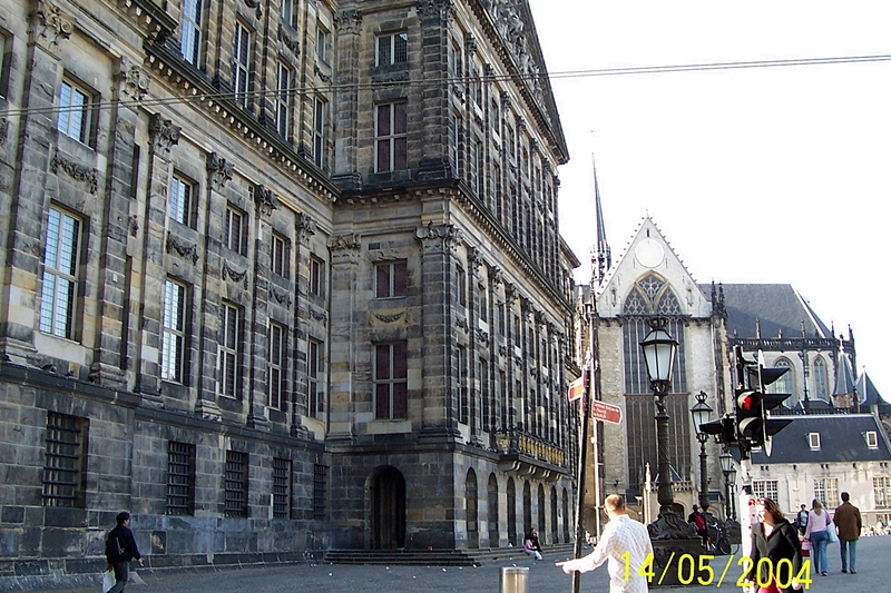
Amsterdam’s name derives from Amstelredamme, indicative of the city’s origin as a dam of the river Amstel
The river’s name is derived from Aeme stelle, old Dutch for “area abounding with water”
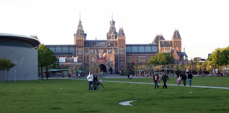
Amsterdam’s main attractions, including its historic canals, the Rijksmuseum, the Van Gogh Museum, Stedelijk Museum, Hermitage Amsterdam, Anne Frank House, Amsterdam Museum, its red-light district, and its many cannabis coffee shops draw more than 3.66 million international visitors annually


The Anne Frank House, located on the Prinsengracht canal in Amsterdam, is a museum dedicated to Jewish wartime diarist Anne Frank, who hid from Nazi persecution with her family and four other people in hidden rooms at the rear of the building.
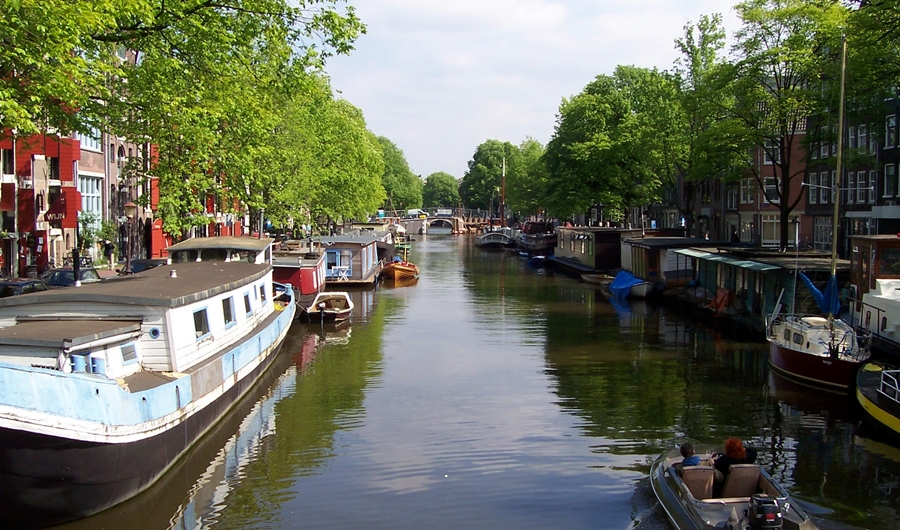
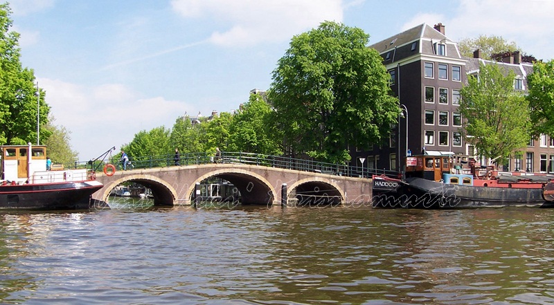
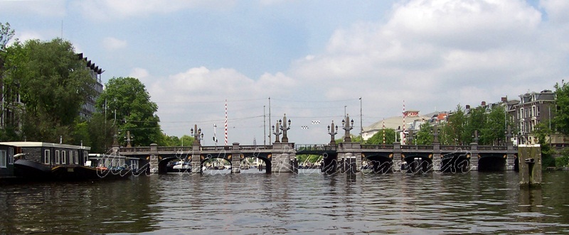
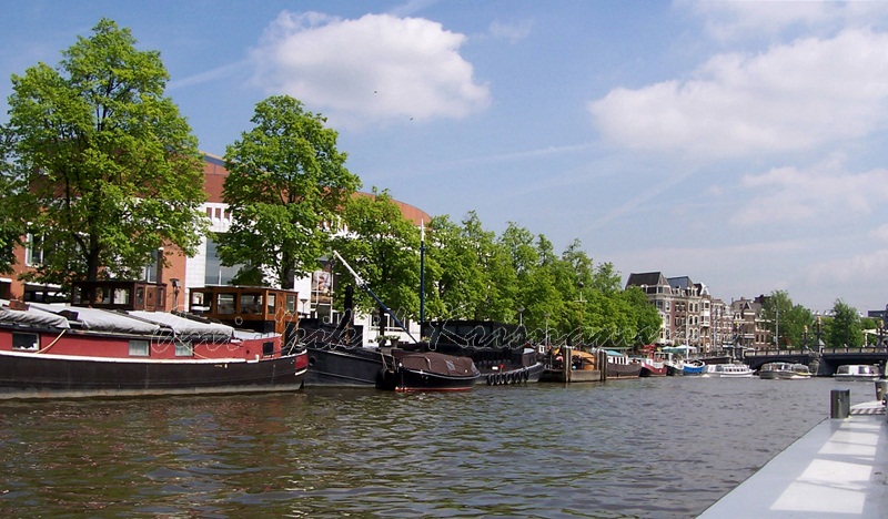
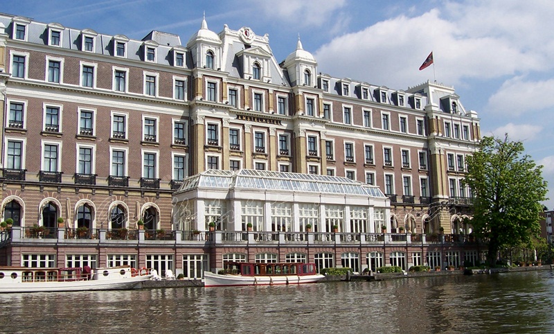
Canals of Amsterdam
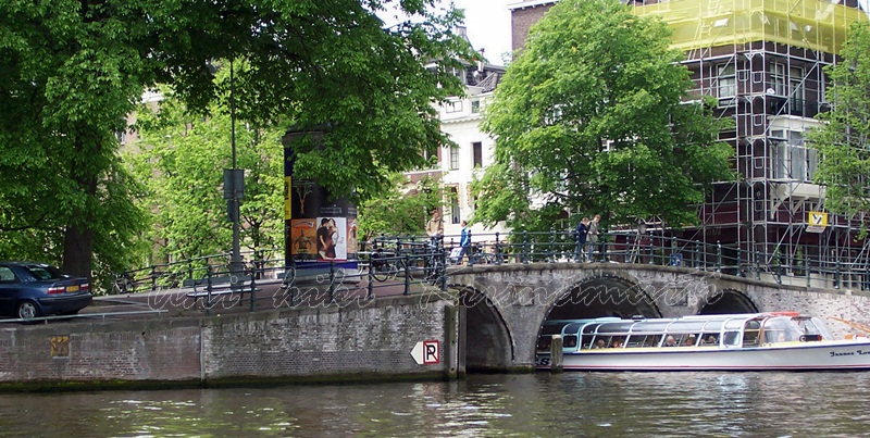
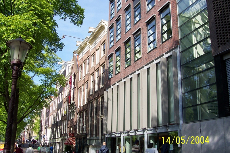
Amsterdam, has more than one hundred kilometres of canals, about 90 islands and 1,500 bridges
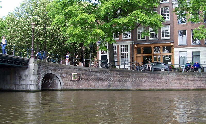
Alongside the main canals are 1550 monumental buildings. The 17th-century canal ring area were placed on the UNESCO World Heritage List in 2010
KEUKENHOF
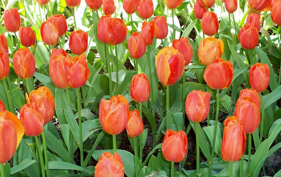
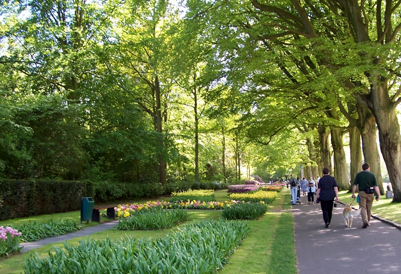
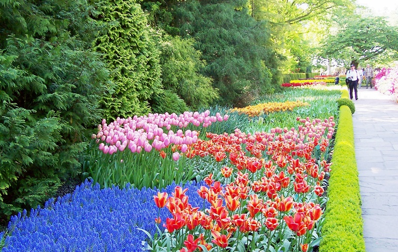
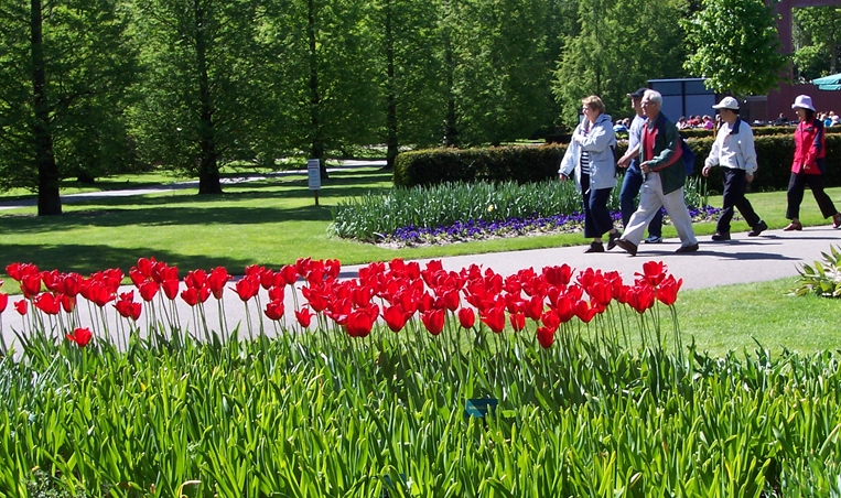
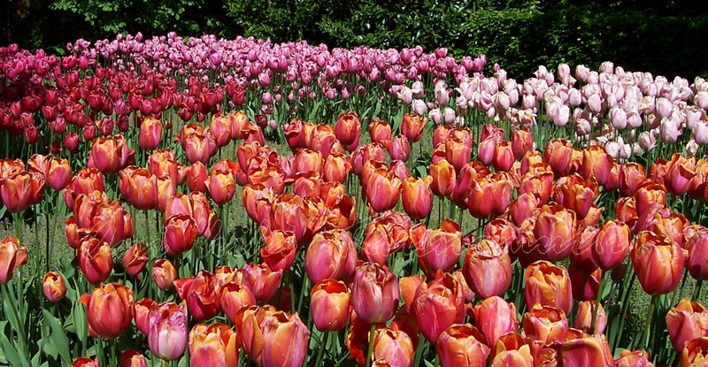
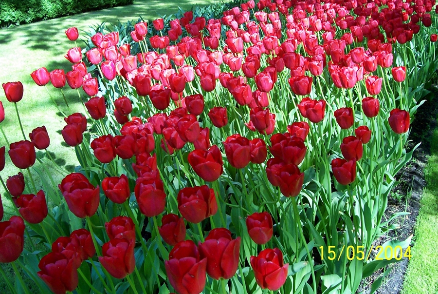
Keukenhof (Kitchen garden), also known as the Garden of Europe, is the world’s second largest flower garden following Dubai Miracle Garden
According to the official website for the Keukenhof Park, approximately 7 million flower bulbs are planted annually in the park, which covers an area of 32 hectares (79 acres)
Keukenhof is located in South Holland in the small town of Lisse, south of Haarlem and southwest of Amsterdam


Keukenhof is open annually from mid-March to mid-May. The best time to view the tulips is around mid-April, depending on the weather.


text taken from http://en.wikipedia.org/wiki/Keukenhof

Another great series here, Ani 🙂
Netherlands looks stunning through your images…
Architecture, waterways, Tulips… a paradise for photographers, I feel 🙂
Thank you. In fact, most of the European photographs taken in 2004, the first time I used a digital camera 🙂
Ohhhh 10 years back 🙂 I got my first digital cam in 2005, a 5MP, sony one which works fine even now 🙂