
buddha’s eyes
SWAYAMBHUNATH
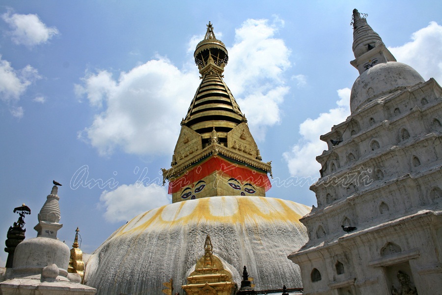
Swayambhunath is an ancient religious complex atop a hill in the Kathmandu Valley, west of Kathmandu city. It is also known as the Monkey Temple as there are holy monkeys living in the north-west parts of the temple
The Tibetan name for the site means ‘Sublime Trees’ (Wylie: Phags.pa Shing.kun), for the many varieties of trees found on the hill


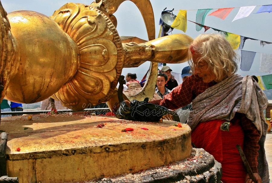
For the Buddhist Newars (indigenous people of the Kathmandu Valley) in whose mythological history and origin myth as well as day-to-day religious practice, Swayambhunath occupies a central position, it is probably the most sacred among Buddhis pilgrimage sites.
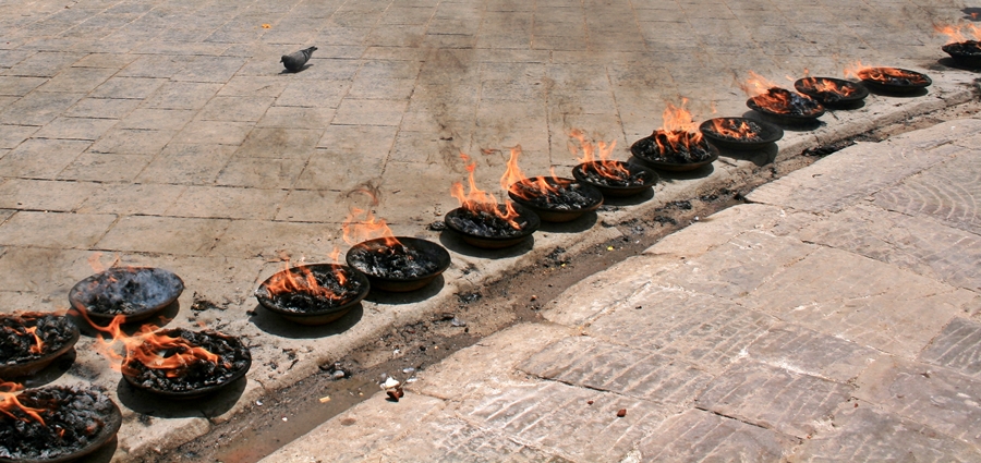
The Swayambhunath complex consists of a stupa, a variety of shrines and temples, some dating back to the Licchavi period.

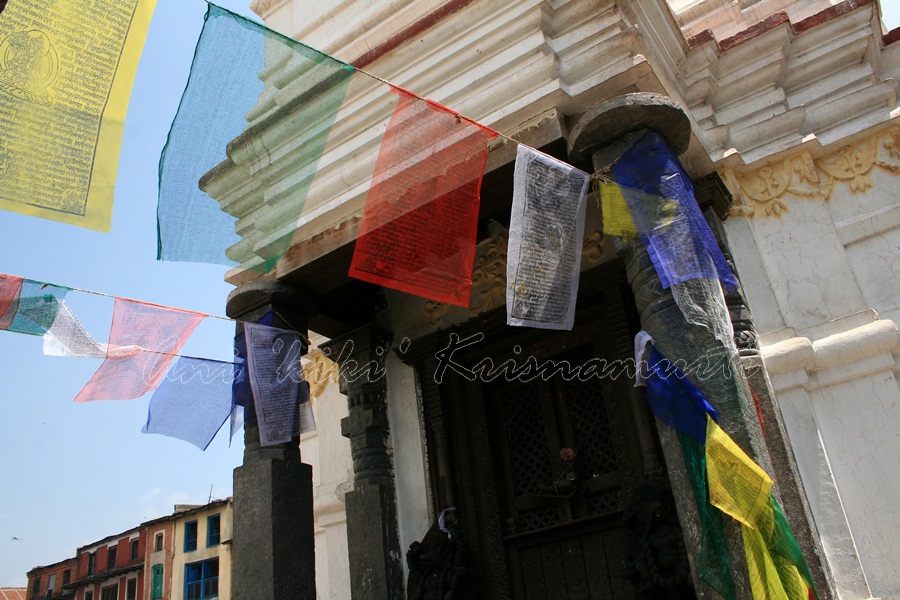


The stupa has Buddha’s eyes and eyebrows painted on. Between them, there is something painted which looks like the nose. A Tibetan monastery, museum and library are more recent additions.There are also shops, restaurants and hostels

NAGARKOT


Nagarkot is a village and Village Development Committee located 32 km east of Kathmandu, in Bhaktapur District in the Bagmati Zone

Located approximately 7000 ft (2000 m) above sea level , Nagarkot is a world famous hills station commanding breathtaking views of the majestic Himalayas, rolling hills, deep valleys, lush pine forests in a quaint rural atmosphere.


Considered as the best viewpoint spot to enjoy the magnificent sunrise and sunset with spectacular Himalayan vistas, Nagarkot commands one of the broadest views of the snow capped Himalayas in the Kathmandu valley ( 8 Himalayan ranges of Nepal out of 13 from here). Unfortunately, the sky was cloudy when I was there

BHAKTAPUR DISTRICT
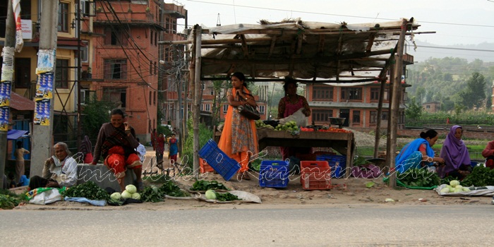
bhaktapur


KARKAVITA to KATHMANDU

bus journey from India–Nepal border in karkavita to kathmandu


KATHMANDU- KODARI

sun khosi river
Thi is a bus journey from Kathmandu to the Nepal-Tibet border in Kodari. The Araniko Highway connects Kathmandu with Kodari, 115 kilometres (71 mi) northeast of the Kathmandu Valley, on the Nepal-China border

")

pictures taken in 2010, and properties of ani krisnamurti
text taken from wikipedia
